
01
Route 66
Barstow
The first big Route 66 town east of LA — murals, the Mother Road Museum, and a good coffee-and-gas reset before Arizona.
Road trip guide
490 miles of Route 66 nostalgia — burros, ghost towns, and one of the seven natural wonders of the world.
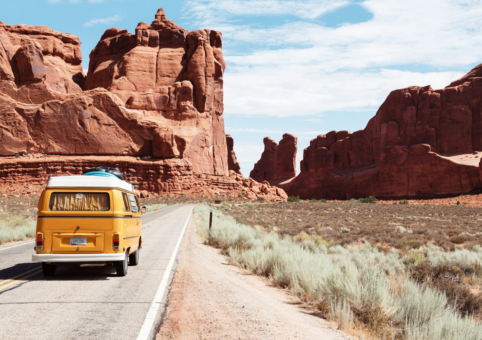
From Los Angeles to the Grand Canyon's South Rim is about 490 miles — and almost all of it traces the old Route 66. This is the Mother Road at its most photogenic: burros wandering the streets of Oatman, the roadside kitsch of Seligman, and the pine-forest gateway town of Williams before the canyon opens up in front of you.
Below is the classic route, a three-day plan, and the stops that make it. Let Wanderply build a version around your dates and crew — and narrate every stop for the drive.
The route
The first big Route 66 town east of LA — murals, the Mother Road Museum, and a good coffee-and-gas reset before Arizona.

A former gold-mining town where wild burros roam the main street looking for treats. Old West gunfight shows and a genuinely wild mountain road in.

The 'Heart of Route 66' — a classic diner scene and the Route 66 Museum. A natural overnight or lunch stop.

The town that inspired Pixar's Cars — every storefront is Mother Road nostalgia. Don't skip the Snow Cap Drive-In.

The last Route 66 town bypassed by the interstate and the southern gateway to the canyon. Pine forest, a vintage railway, and the turnoff to the South Rim.

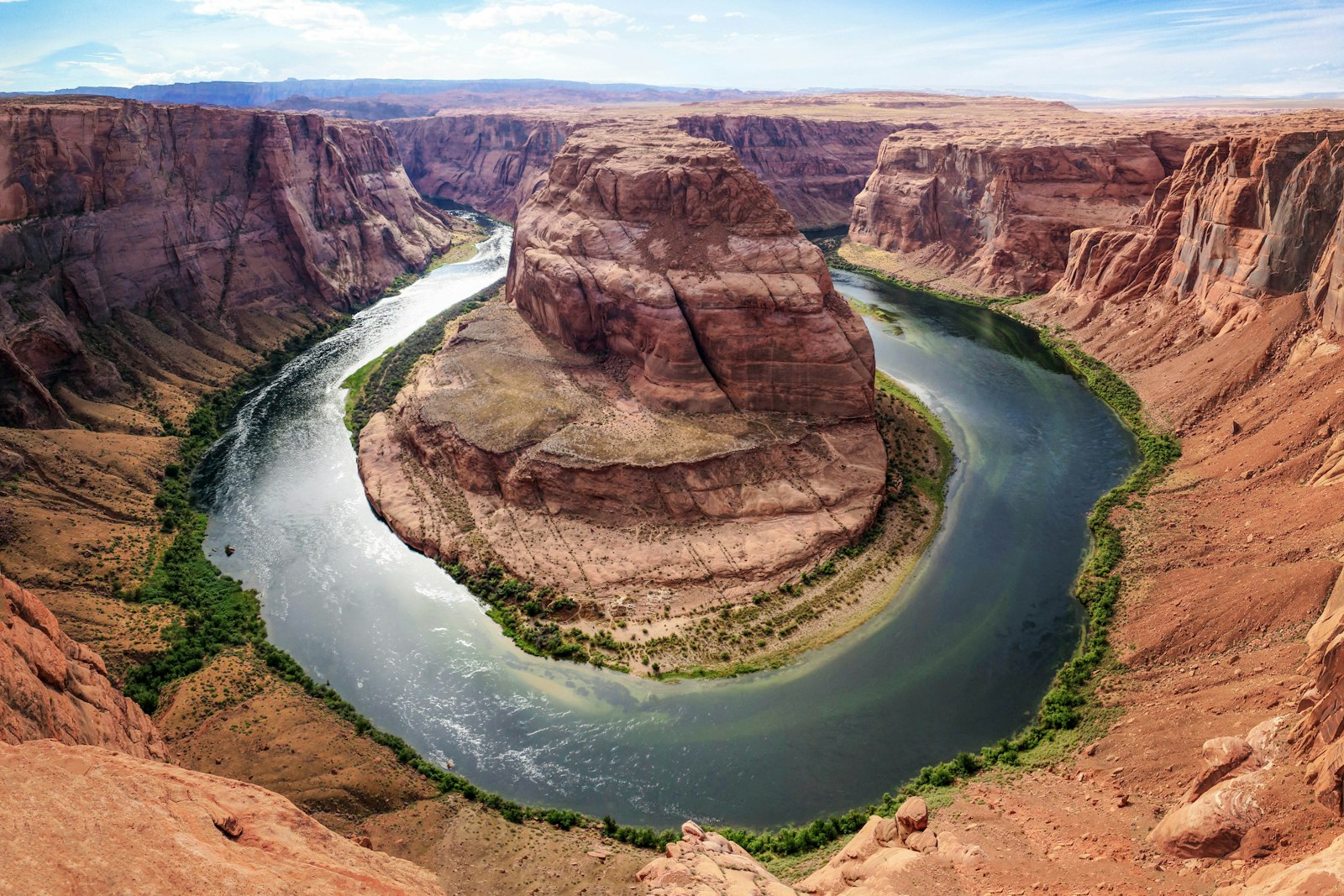
Mather Point, the Rim Trail, Desert View Watchtower, and sunset at Hopi Point. One of the seven natural wonders of the world.
Suggested plan
Day 1
Roll out of LA, cross the Mojave, and pick up Route 66. Detour to Oatman for the burros, overnight in Kingman.
Day 2
Seligman's roadside Americana, lunch in Williams, then up to the South Rim for sunset at Mather or Hopi Point.
Day 3
Sunrise on the Rim Trail, Desert View Watchtower, and a short leg down the South Kaibab Trail if you're up for it.
Wanderply doesn't just plan the Los Angeles → Grand Canyon route — it narrates every stop like a podcast you play in the car, with the history and the story of each place. And it all works offline, the whole way.
Build this trip & hear it →Loading typical conditions in Grand Canyon…
Good to know
About 490 miles to the South Rim — roughly 7.5 hours of driving. Most people make it a 2–3 day trip.
The South Rim (open all year) is the classic destination via Williams. The West Rim / Skywalk on Hualapai land is closer but a different experience.
Absolutely — Oatman, Kingman, and Seligman are the highlight reel of the surviving Mother Road and turn a highway drive into the trip itself.
Spring and fall for mild temperatures. The South Rim sits at 7,000 feet and can snow in winter; summer is hot and crowded.
Tell Wanderply your dates, pace, and who's coming — it builds a day-by-day plan around your must-dos and narrates the whole drive.
Plan your Los Angeles → Grand Canyon trip